

drones
Webinar | Technology for tracking disaster response teams
Tornadoes, hurricanes, earthquakes, and other natural disasters cause frequent damage to centralized cell, wifi, and RF communications networks. No matter the mission, response teams still need to find a way to communicate and maintain situational awareness in the immediate aftermath of a disaster. Watch leading UAS training organization Granite Defense
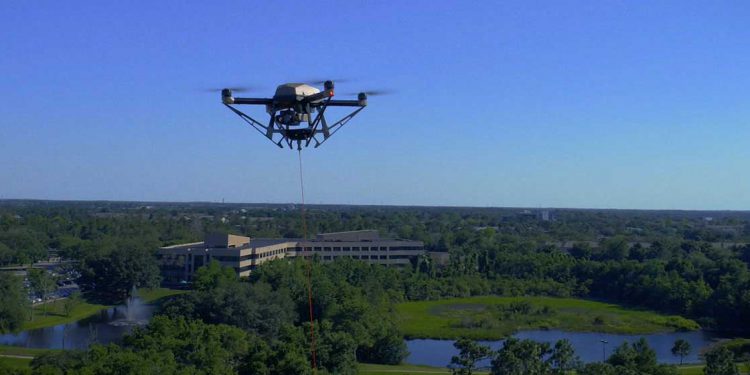
Tech Spotlight Series: Hoverfly on the tactical advantages of tethered drones
Unmanned aerial vehicles (UAVs) are flying high above today’s battlefields, special events, and disaster zones to provide critical situational awareness to tactical teams on the ground. But what happens when that military intelligence, surveillance, reconnaissance (ISR) mission or wildfire survey lasts days at a time? Untethered drones can only stay
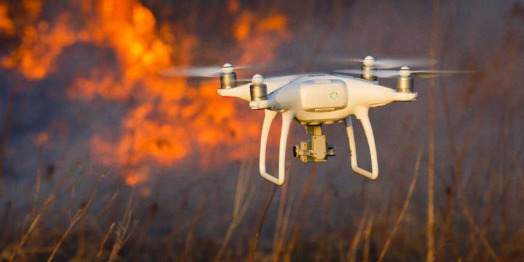
Look to the skies for the future of fighting wildfires
In my previous article on The Last Mile, I looked at the current state of the wildfire threat in the United States and how recent climate changes and shifts in our environment are not only making wildfires more frequent, they’re making them more destructive and deadly. In that article, I
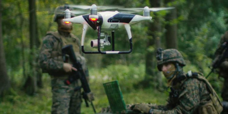
UAVs and ATAK – providing a full picture of the battlefield
The use of unmanned aerial vehicles (UAVs) – or drones as they’re more commonly known – for intelligence, surveillance, and reconnaissance (ISR) functions is incredibly important for today’s military. UAV intelligence and data – whether that be still images or real-time, high definition video – serves a key function in
