

situational awareness
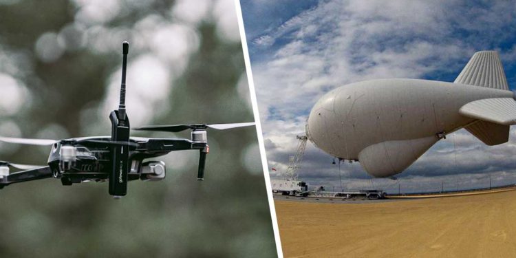
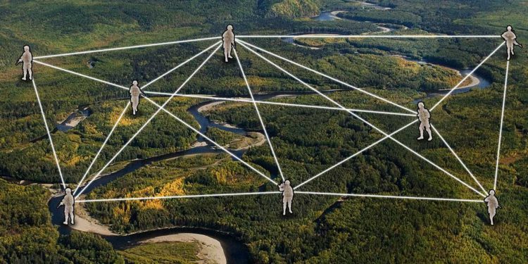
Hot Take: Drones vs. aerostats for extending a mesh network
As part of the Hot Takes series, we’ll be taking a highly debated topic and exploring the pros and cons of both sides. During each debate, you’ll hear from goTenna experts who offer hands-on experience from working with customers and deploying goTenna Pro X devices in the field. Leave a
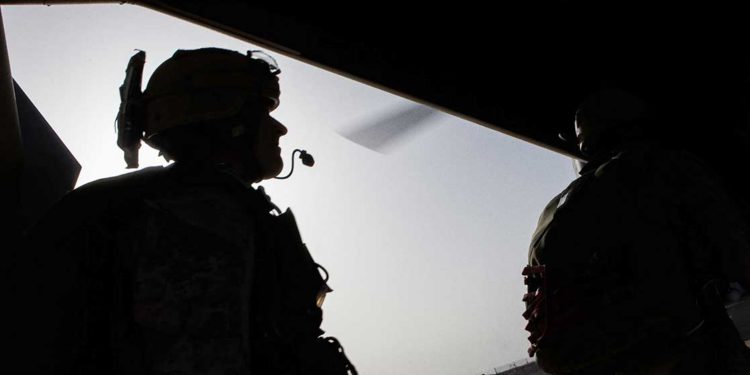
SYANS on the growing role mesh networks are playing within special operations
No matter if it’s a warfighter deployed on a special operation in an off-grid environment, or an emergency responder in a dense urban area with weak cellular connectivity, having reliable means of communication and situational awareness is critical for a mission to be executed successfully. But in these environments where
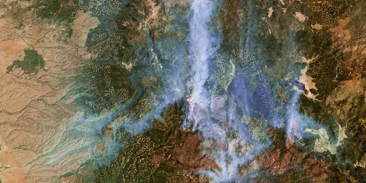
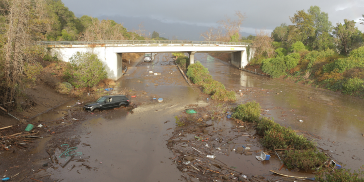
How federal legislation and new technologies will benefit wildland fire response
In July 2021, California experienced its second-largest wildfire in history – the Dixie fire. It ignited in the dense forest of Plumas County, and in the weeks and months that followed, it burned through more than 963,000 acres across five counties, destroying 1,300 structures and leveling the town of Greenville.
What’s old is useful again – aerostats and mobile mesh combine to deliver assured comms
The military is perpetually investing in new, envelope-pushing technologies that are designed to give our warfighters superiority over their adversaries in each and every warfighting domain. In just the past decade, the military has heavily invested or explored options for the next-generation fighter, the next-generation armored personnel carrier, the next-generation
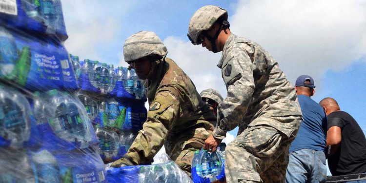
Why the first 15 minutes after a disaster are the most critical
Whether an 18-wheeler containing hundreds of pounds of hazardous material crashes on a highway or a category 4 hurricane hits a coastal town leaving a trail of devastation in its wake, the first 15 minutes after a disaster are by far the most critical in any response operation. While each
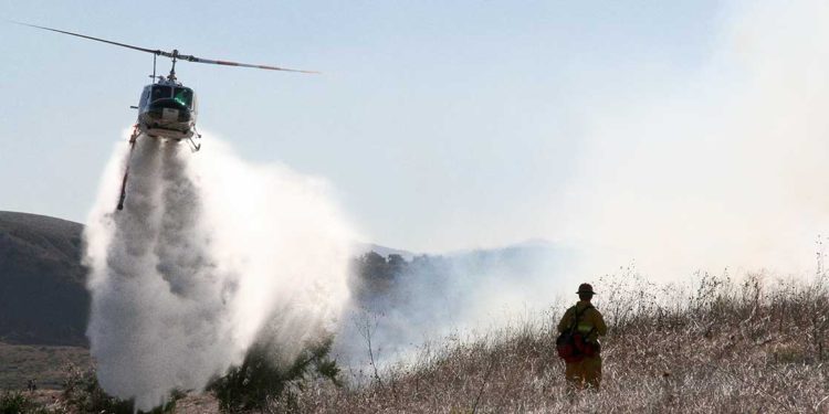
3 mesh network use cases for wildland fire deployment
In the past three years, the U.S. government has set aside nearly $3.3 billion for the bolstering and modernization of our nation’s wildland firefighting capabilities. These funds have arrived at a critical point in time as government agencies face the compounding effects of climate change that are contributing to longer
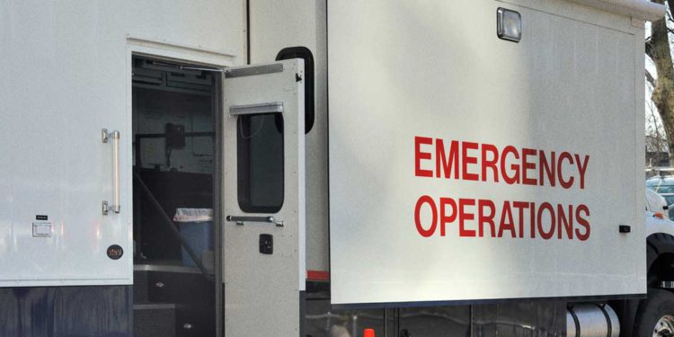
How to set up an off-grid communications network at a crisis response center
Prior to deploying to a crisis response center in a remote location, humanitarian aid workers typically have an initial communications plan which includes a list of crucial stakeholders, their goals, and the hierarchy for sharing information on the crisis. Team leaders have to know who they need to talk to,
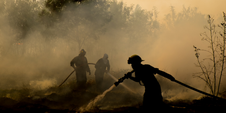
When Disaster Strikes Pt. II – How mobile mesh and ATAK serve as force multipliers for first responders
In our last article on The Last Mile, we sat down with Greg Albrecht – medic and goTenna Public Safety Technical Consultant – to discuss the conditions and impacts lack of communications and connectivity have on first responders in natural disaster environments. This week, Greg returns to discuss the critical
When Disaster Strikes Pt. I – The impact of lost comms during emergency response operations
In natural disasters and other emergency response situations where the existing communications infrastructure may be compromised, degraded, or destroyed, it is critical that first responders dispatched to the scene have a means of communicating and sharing locations with one another. If not, the success of the mission and the lives
5 reasons why mobile mesh is an essential military communications tool
As connected devices and the network-enabled platforms and weapons systems of tomorrow make their way into every part of the mission, many across the DoD are looking to the rapidly advancing commercial satellite industry and 5G networks to deliver the military communications that they require to operate. Unfortunately, 5G networks
