
What Ebola Couldn’t Prepare Us For: COVID-19’s Strain on Emergency Communications Networks
In 2014, I was serving as the Senior Strategic Homeland Security Planner for the Brazos Valley Region in East Texas, and tasked with coordinating the Ebola response in the 7,320-square-miles surrounding the Bryan-College Station metropolitan area. Acting as a federal liaison between hospitals, public safety, and state government officials, many
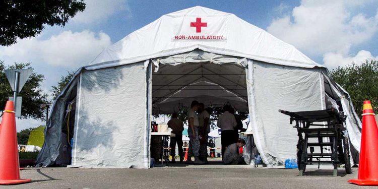
Tech Spotlight Series: Ensuring communications on the frontline of the COVID-19 fight
The global COVID-19 pandemic has left many state and local governments, hospitals and first responders scrambling to find the medical equipment, hospital beds and resources they need to keep up with the incredible influx of sick patients. With so many new cases and hospitalizations, these organizations are turning to temporary
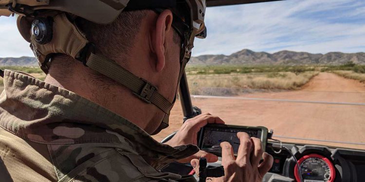
Mobile mesh networking and border patrol – staying connected while keeping the border safe
In my last article on The Last Mile, I looked at the unique communications challenges that exist at the northern border between the U.S. and Canada, which is increasingly important right now with the border closed due to the coronavirus pandemic. But it’s not the only border in need of

Enabling more effective off-grid communications at the closed northern border
Earlier this month, in an attempt to slow the spread of the COVID-19, the United States and Canada took the unprecedented step of shutting down the border between the two countries. While this sounds like a reasonable and rational step towards stemming the spread of a disease that has —

Tech Spotlight Series: goTenna’s transition from consumer to tactical-grade mesh networking devices
For this month’s spotlight, we interviewed Raphael Abrams, the lead of hardware engineering at goTenna. As the company’s first employee, he developed goTenna’s two generations of consumer hardware and has since led the transition to their tactical-grade goTenna Pro line. Today also happens to be the one year anniversary since

Six DHS preparedness grants to help fund resilient communications equipment
As government agencies across the United States respond to the COVID-19 pandemic, there are several new and existing sources of funding to support these rapidly evolving, multi-agency efforts where communications will undoubtedly play a key role. Earlier this week, the Senate passed a new emergency funding package totaling $340 billion,
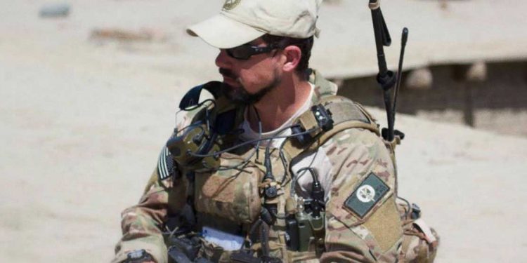
ATAK and goTenna Pro X for the JTAC – improved situational awareness for faster close air support
Having served in the United States Air Force as a Joint Terminal Attack Controller (JTAC), I understand the importance of situational awareness for conventional and special operations forces missions. During my twenty years of service, I contributed to countless missions in austere environments attached to U.S. and coalition ground forces,

Four common objections to smartphone adoption, and how to address them
Public safety agencies and organizations across the globe are becoming increasingly smartphone-centric. In a recent webinar hosted by the International Public Safety Association, panelist Dale Stockton said, “When you consider the sheer utility and overall functionality, [smartphones] have become the tech equivalent of the proverbial Swiss Army knife.” It’s this

Webinar | How to implement a mobile first strategy for emergency management
Mobile devices and applications are increasingly critical to day-to-day public safety operations, but many organizations are unprepared in the event cell phone connectivity — and access to these new tools — becomes unreliable or unavailable. New advancements in mobile and wireless communications are now allowing emergency response and recovery teams
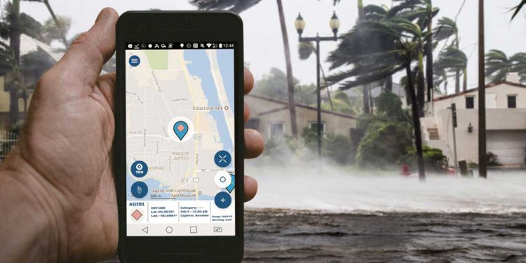
Top 10 apps for emergency response teams
The arrival of dedicated public safety broadband networks like FirstNet means that the adoption of mobile technology can begin in earnest. Nearly 9,000 public safety agencies across the country have already signed on to FirstNet, and more than 750,000 mobile devices are now connected to these networks. With smartphones and


