situational awareness
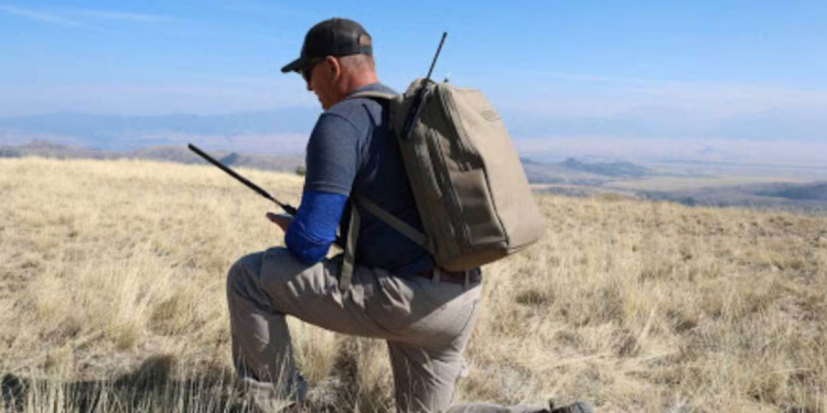
Tough Stump solutions take the “stumped” out of tactical edge connectivity
Network-connected mobile devices, applications, and other digital technologies are crucial components of almost every military operation or mission. Unfortunately, operations are often executed in environments that lack the terrestrial network infrastructures capable of providing the necessary connectivity to these mission-critical technologies. When warfighters are deployed in off-grid and austere environments
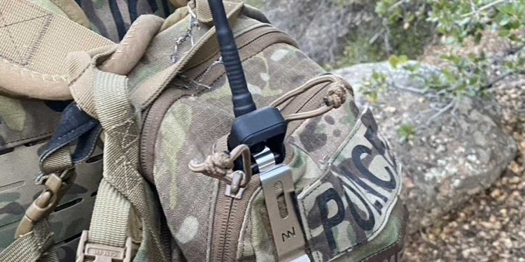
VTC sees benefits of mobile mesh for off-grid tactical operations
From urban landscapes to rugged terrains, American military, law enforcement and emergency response operations are often conducted in extremely varied, dynamic, and unpredictable environments. On any given workday, a first responder could be called upon to repel down the side of a skyscraper or extract an injured hiker from the
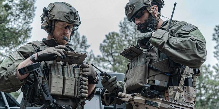
Six ATAK + goTenna Pro X use cases for tactical off-grid operations
American warfighters can attest to the fact that maintaining situational awareness (SA) and communication amongst team members can be the determining factor of a successful mission. Whether warfighters are deployed on combat search and rescue (CSAR) operations, intelligence, surveillance, and reconnaissance (ISR) missions, or are a member of a special

How ATAK Transformed Search and Rescue in Bernalillo County, New Mexico
When the Bernalillo County Sheriff Department’s (BCSD) Metro Air Support Unit (MASU) receives a search and rescue call from dispatch, time, speed, and, most importantly, situational awareness (SA) are crucial, make-or-break factors that determine the outcome of a critical incident. To add pressure to an already intense situation, New Mexico’s
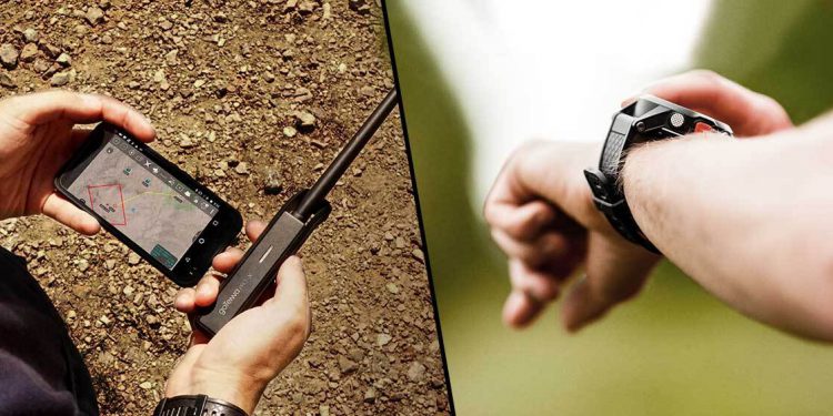
Hot Take: GPS trackers versus goTenna Pro X and mobile mesh networks
As part of the Hot Takes series, we’ll be taking a highly debated topic and exploring the pros and cons of both sides. During each debate, you’ll hear from goTenna Pro experts who offer the hands-on experience from working with customers and deploying goTenna Pro X devices in the field.
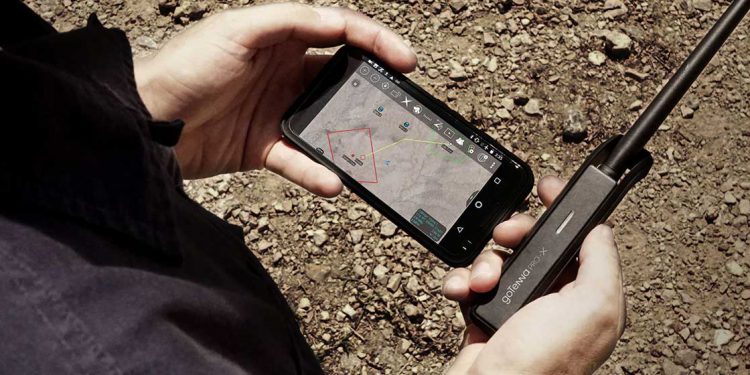
Situational awareness? Thanks to ATAK, there’s an app for that!
If you’ve ever served your nation as a member of the military or served your community as a first responder, you may have heard the acronym, “ATAK.” Interestingly enough, depending on which of those communities you were a member of, that acronym could stand for something different. In the military,
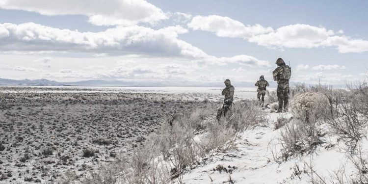
Whitepaper | Remote situational awareness for special operations forces
Today’s connectivity allows each person to extend their scope of awareness well beyond their immediate environment. Without being physically present in a location, we can know the weather, check traffic, and receive updated news from nearly anywhere in the world. Remote situational awareness (RSA) — the ability to perceive beyond
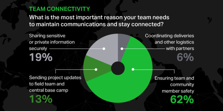
Infographic | Nonprofits on navigating connectivity in the Digital Divide
As communities around the globe work to close the digital divide, there are countless nonprofits and nongovernmental organizations that need to fill critical gaps in connectivity in order to operate safely and effectively now. During a live panel discussion “Navigating Connectivity in the Digital Divide,” we asked nonprofit professionals how
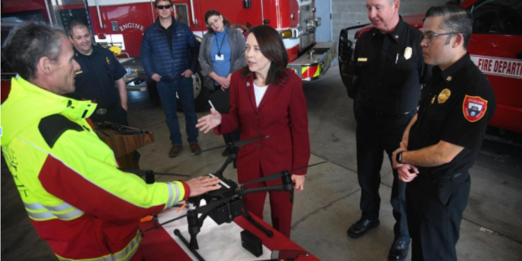
Webinar | Improving mission-critical outcomes with mesh-enabled location tracking
With new federal requirements for location tracking now in place, this free webinar will review the new mobile mesh networking technology solutions designed to address these challenges. Viewers will hear case studies from recent deployments and learn how agencies are already enhancing situational awareness and safety in the wildland today.
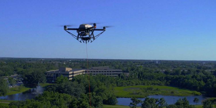
Tech Spotlight Series: Hoverfly on the tactical advantages of tethered drones
Unmanned aerial vehicles (UAVs) are flying high above today’s battlefields, special events, and disaster zones to provide critical situational awareness to tactical teams on the ground. But what happens when that military intelligence, surveillance, reconnaissance (ISR) mission or wildfire survey lasts days at a time? Untethered drones can only stay


